Wisconsin Carte
Explorez Carte du Wisconsin, Wisconsin Cartes, pays la carte du Wisconsin, des images satellite, carte du grand villes, carte politique, itinéraire et plan de circulation.
Wisconsin Cartes régionales des autoroutes, des dépliants, des situations routières, transport, hébergement, guide, géographique, des informations physiques peut être trouvé avec la carte interactive du monde. Avec Wisconsin Cartes de tous les états, régions, villes, villages, quartiers, avenues, rues et les centres populaires »par satellite, de croquis et vues du terrain sont disponibles.
Pour toutes les Wisconsin Carte des villes
WISCONSIN COMTE CARTE

ROUTE CARTE DE WISCONSIN
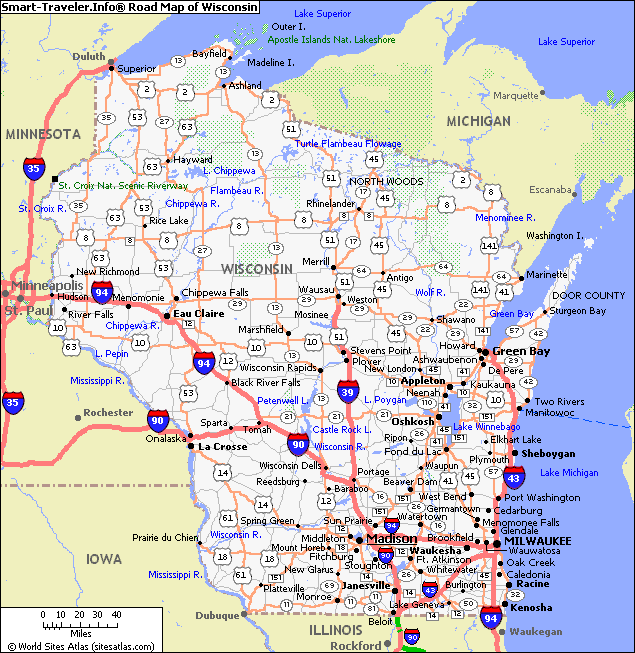
Cartes connexes Wisconsin et Wisconsin d'images satellites
WISCONSIN COMTE CARTE

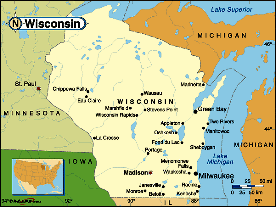
CARTE DE WISCONSIN
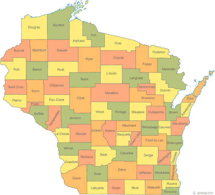
ETAT CARTE DE WISCONSIN
ROUTE CARTE DE WISCONSIN

WISCONSIN CARTE
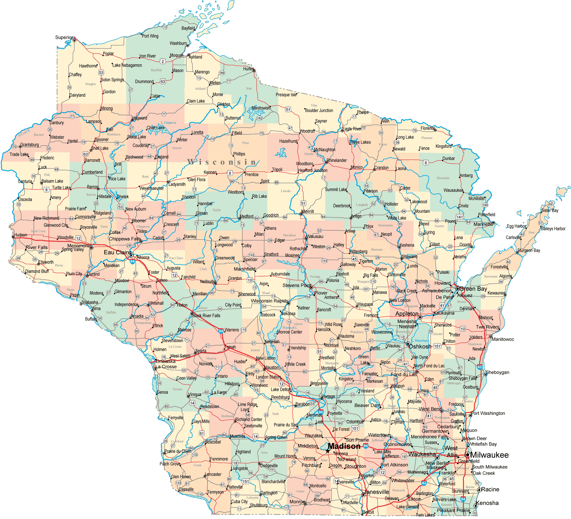
WISCONSIN PLANS
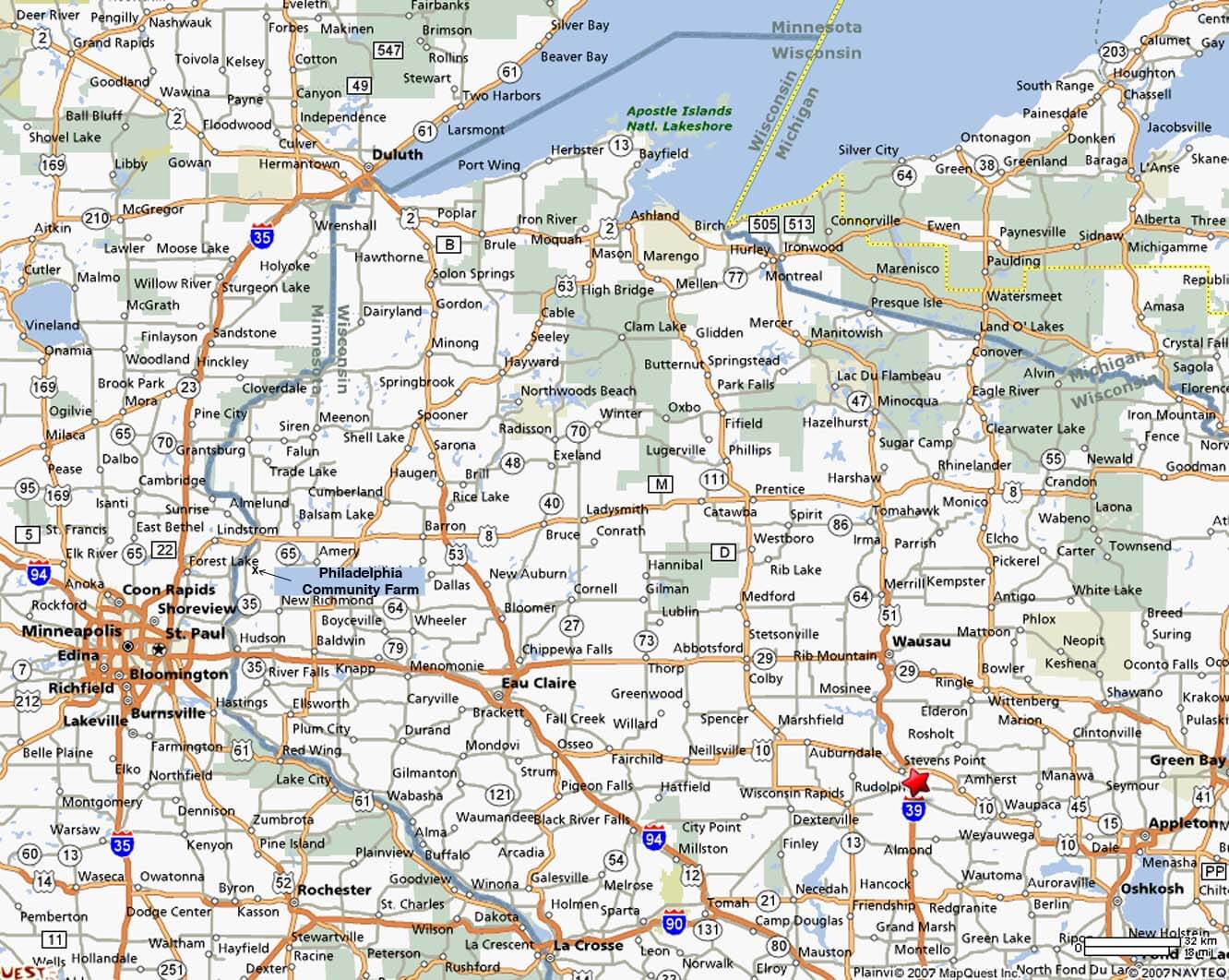
WISCONSIN ROUTE CARTE
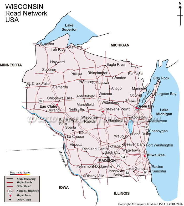
WISCONSIN VILLES CARTE
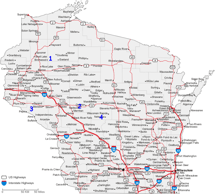
WISCONSIN ATLAS 1895
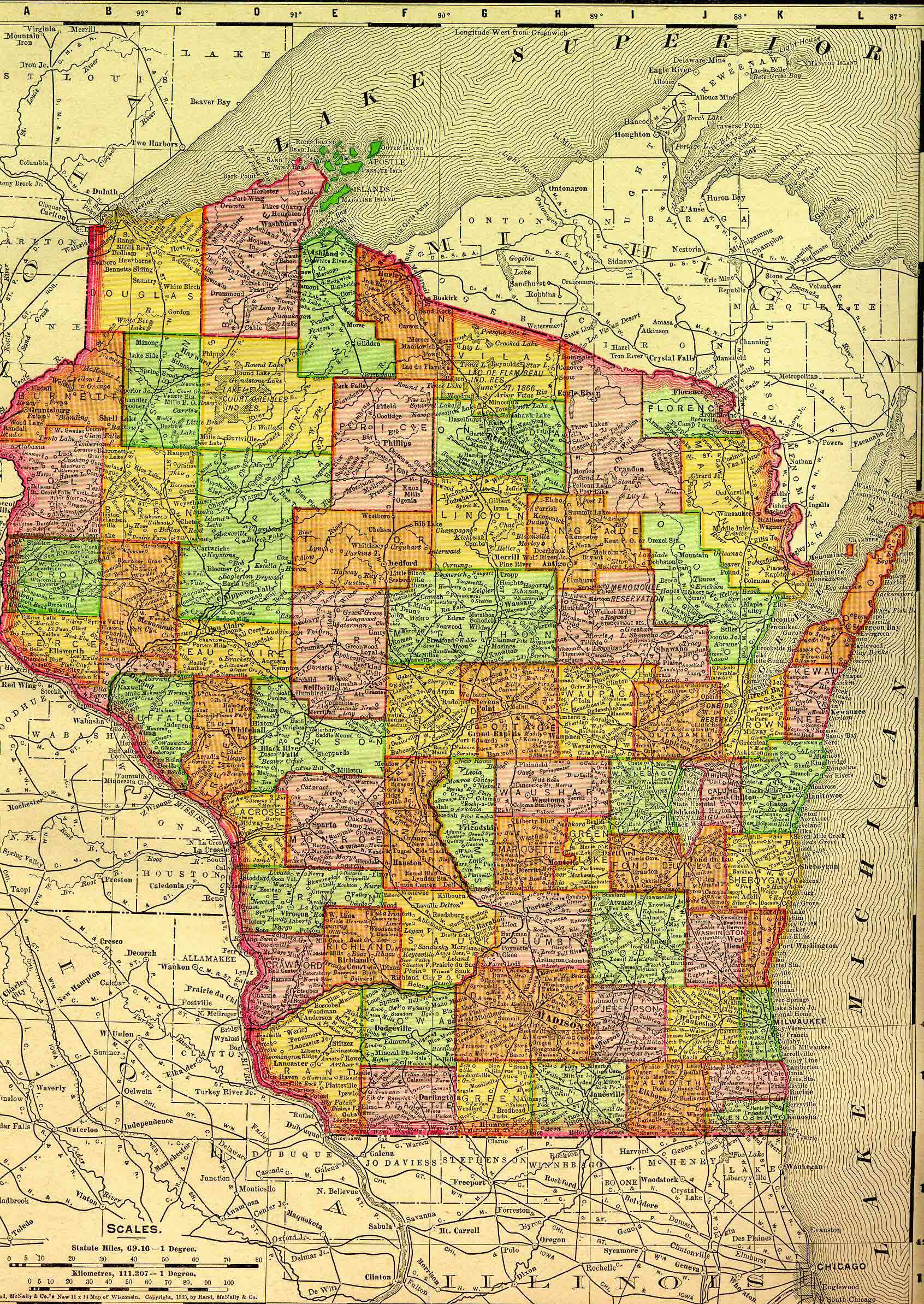
WISCONSIN ATLAS CARTE
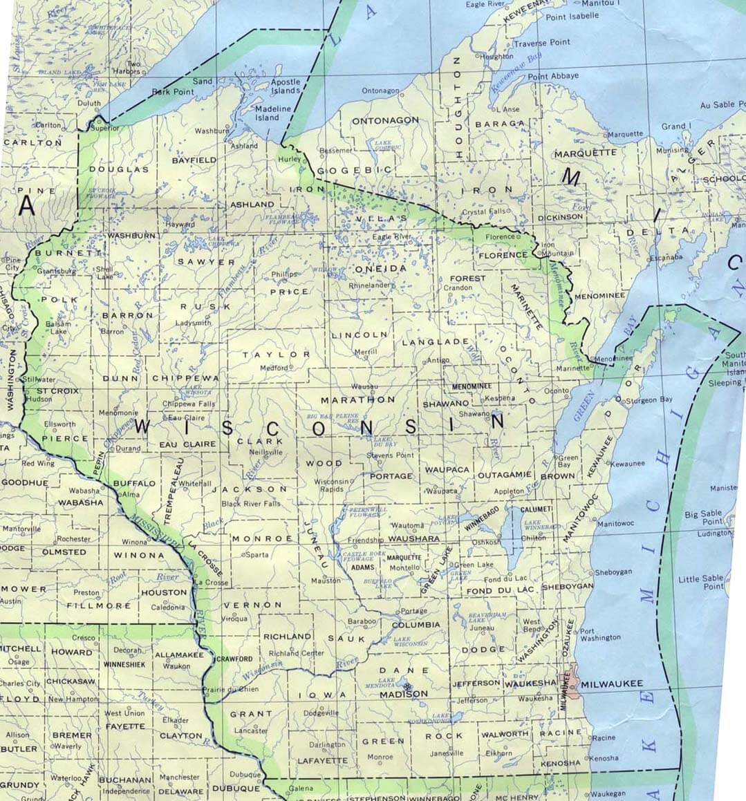
WISCONSIN CARTE
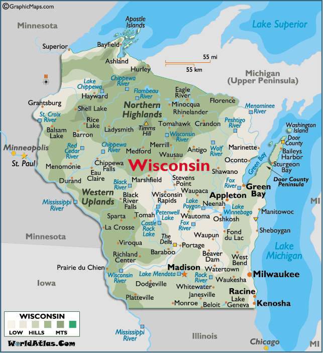
WISCONSIN CARTE MILWAUKEE
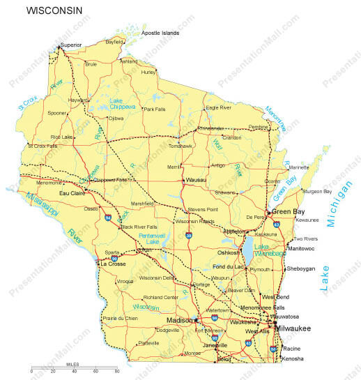
WISCONSIN COMTE CARTE
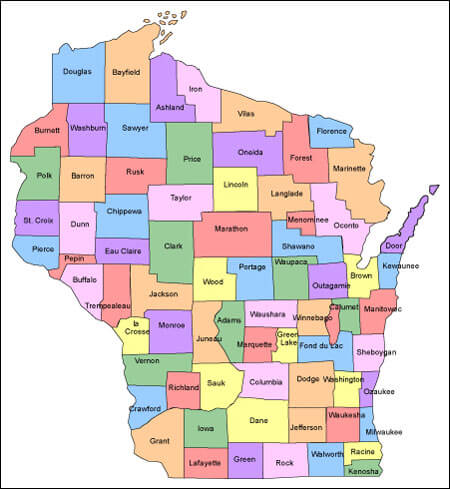
WISCONSIN COMTES ROUTE CARTE EUA
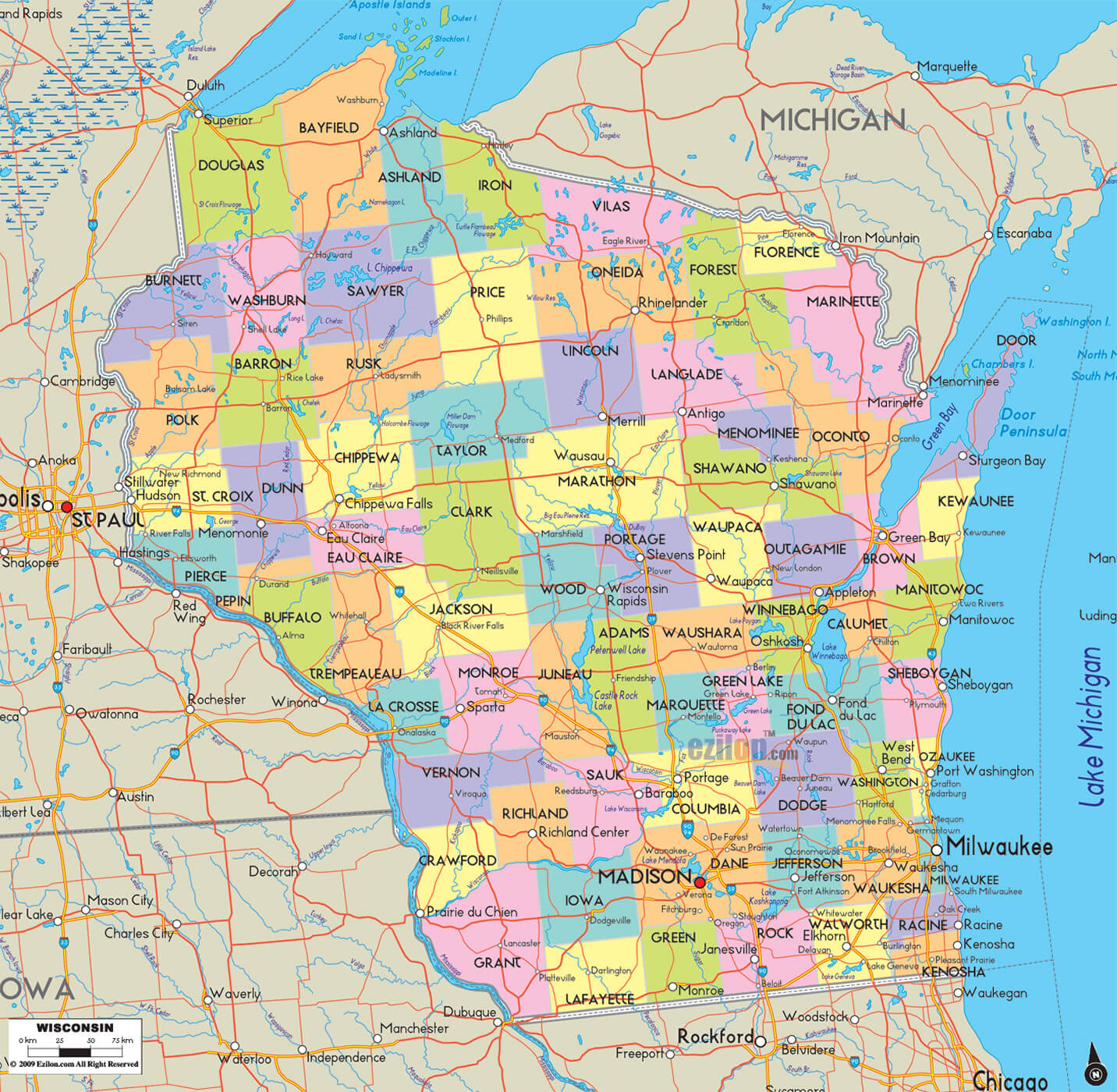
WISCONSIN ETAT CARTE
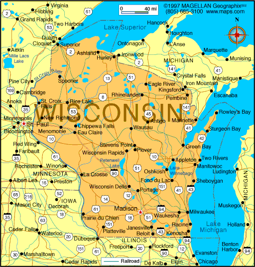
WISCONSIN HISTORIQUE CARTE
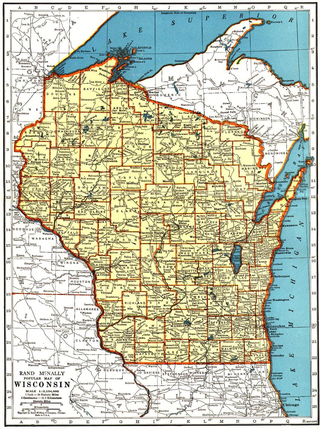
WISCONSIN PHYSIQUE CARTE
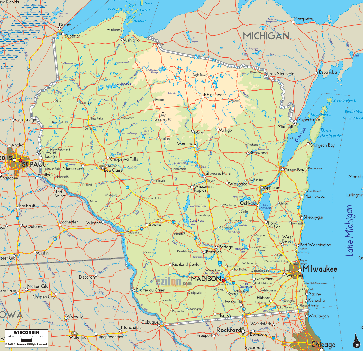
WISCONSIN PLANS
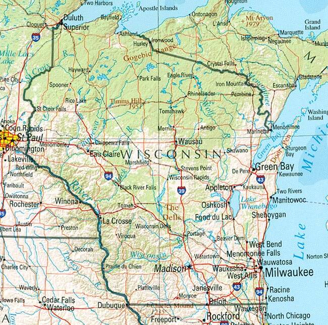
WISCONSIN POLITIQUE CARTE
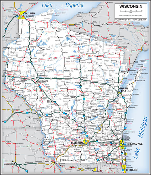
WISCONSIN ROUTE CARTE
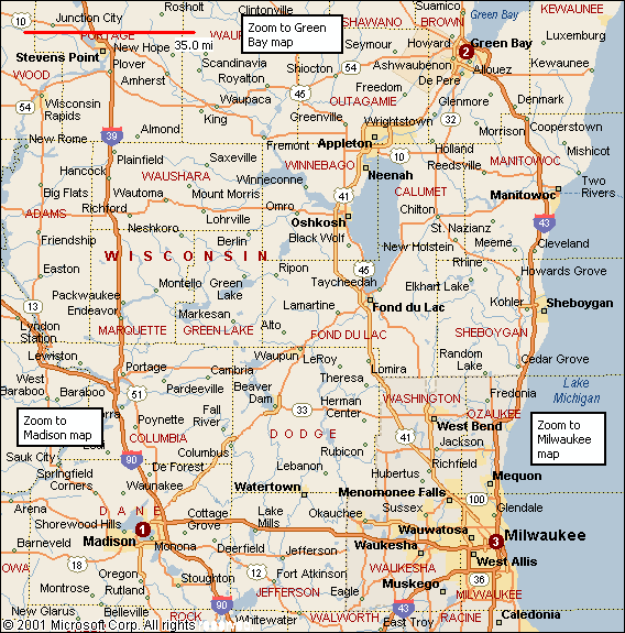
WISCONSIN ROUTES CARTE
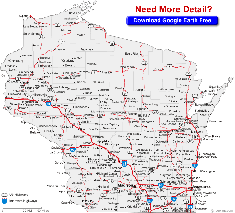
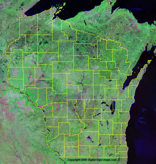
WISCONSIN SATELLITE CARTE
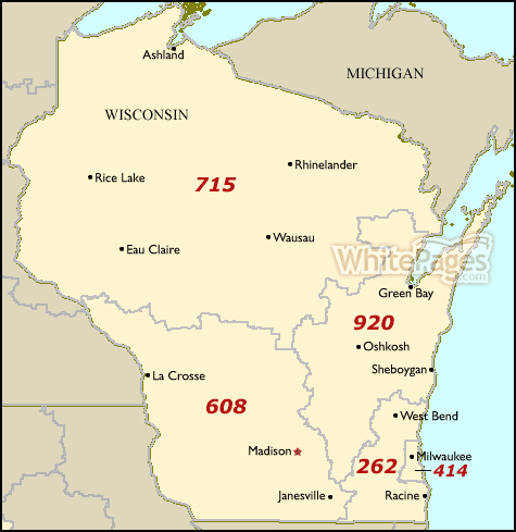
WISCONSIN SURFACE CODE CARTE
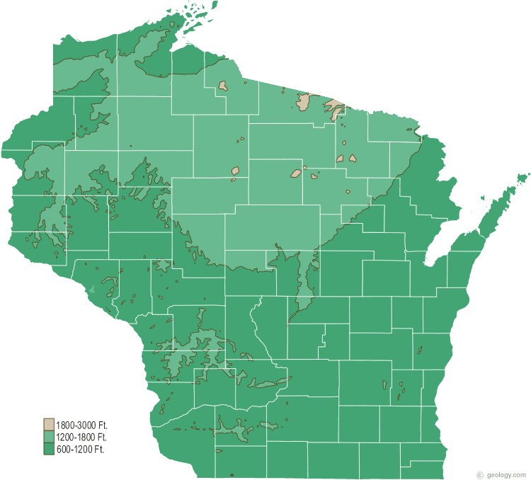
WISCONSIN TERRE CARTE
WISCONSIN VILLE CARTE
WISCONSIN VILLES CARTE
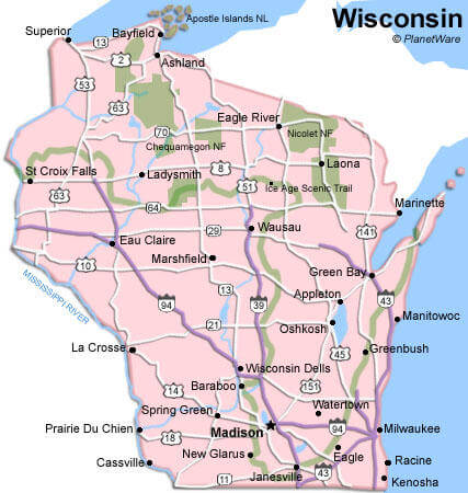
Pour toutes les villes en Wisconsin plan
Carte des plus Grandes Villes de Wisconsin et Population
Milwaukee Plan - 594,833 Madison Plan - 233,209 Green Bay Plan - 104,057 Kenosha Plan - 99,218 Racine Plan - 78,860 Appleton Plan - 72,623 Waukesha Plan - 70,718 Oshkosh Plan - 66,083 Eau Claire Plan - 65,883 Janesville Plan - 63,575 West Allis Plan - 60,411 La Crosse Plan - 51,320 Sheboygan Plan - 49,288 Wauwatosa Plan - 46,396 Fond du Lac Plan - 43,021© MondeCarte.com - 2014 - 2025. Tous les droits sont réservés. Politique de Confidentialité | Avertissement

